This post is also available in: Deutsch (German)
Almost everyone already owns a smartphone. So if you are planning to buy an extra GPS device for your sporting activities such as road cycling or mountain biking, you should definitely think carefully about whether it would be better to use your smartphone for this and instead invest only a fraction of the purchase price in the right app including map material! After all, nowadays many smartphones are waterproof or can be adequately protected against water, dirt and falls by high-quality cases and/or holders and can be securely attached to the handlebars. A battery pack provides the necessary stand-by time when it takes longer.
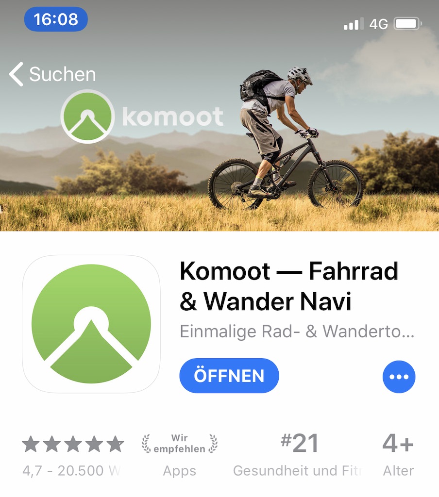
This is exactly the decision I am currently facing. My old Garmin 800 has been working again since I replaced the battery, but the display is scratched and I miss some features like navigation or Bluetooth. That’s why I use the Komoot app on my smartphone in addition to the Garmin: navigation, planning tours, tracking, recording, evaluating and a large community … this navigation solution promises all that. So here are my impressions and test results, which are mainly based on the current version 9.9.2 for iOS.
Preparations
Before I can really get started, I first have to register and create a Komoot account; either the classic way with email and password or using an already existing Facebook account. Otherwise nothing works! The advantage: After successful registration, I can also access my Komoot profile via my web browser or my tablet app and thus plan my tours much more comfortably.
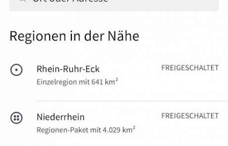
Another great advantage of Komoot is that the maps are also available offline … provided you have downloaded them beforehand. While the app itself is free of charge, the download of the map material from Komoot is subject to a fee. However, anyone who, like me, has often found themselves in the middle of nirvana without a mobile phone connection will certainly appreciate this advantage. In addition, offline maps save the monthly data volume and the battery capacity of the smartphone. That’s why I bought the complete package (maps worldwide & lifelong updates) for the special price of €19.99. But you can also buy only the maps of individual regions.
Here we go
I usually plan my tours from home on my computer by starting the Komoot portal via the browser. After logging in, you can be inspired by corresponding tour suggestions, follow other cyclists from the region or plan your own tours. I use the Komoot web route planner for this. Select a profile, enter the start and destination … and that’s it. Intermediate points can be added simply by dragging and dropping. The finished tour then appears in the profile under “Planned tours” on your own smartphone and can also be exported as a GPX file and transferred to other devices. In my experience, this works really well! When cycling the tour, you can then have the navigation instructions displayed and/or announced. After a short period of getting used to it, this also works very well!
However, when I plan tours specifically for my velomobile, I use BRouter. BRouter has the advantage over Komoot that it has a special profile for VM riders. I then export the calculated route and import it again with Komoot … That’s it! Otherwise, Komoot is completely sufficient for planning my MTB and road bike tours!
On the road
Once you are on the road, you will receive navigation instructions via the display and/or acoustic instructions. If you leave the predefined route, there are basically 2 options: By default, there is a message that you have left the route or the distance to your current position. A glance at the screen then shows how to find your way back. I find the option “Automatically reschedule” more helpful; Komoot then continues the navigation based on the current position, calculates a new route and thus navigates to the actual destination. I therefore recommend activating this option before the next tour!
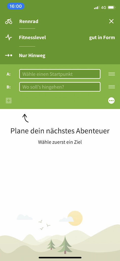
Spontaneous route planning on the road with the smartphone also works really well; simply enter the current position as the starting point, enter the destination and off you go.
I also find the “Highlight” feature interesting: Here you can mark certain routes or places as highlights yourself. This helps other users to plan further tours, because these are displayed on the map and stored information can be called up.
Of course, you can also just go for a ride, without prior planning and navigation, and just record the route and then save it. The information is then stored in your profile under the tours you have made. There you can view the corresponding statistics on the kilometres ridden, metres in altitude etc. etc. or the course of the route at any time. I would like to mention here that the tracked values were always realistic (I compared this with other devices or with fellow cyclists), which is by no means a matter of course. In the past, I have already uninstalled some smartphone apps because the distance and especially the altitude were clearly off!
My conclusion:
To date, I have not regretted investing in the app or the map material from Komoot. The app works very well for the most part, although at one point or another you wonder whether the routing could have been better. But to be honest, I often ask myself the same question with my car’s navigation system. In the meantime, I am very enthusiastic about the app, because it has often shown me new routes and places that I might not have discovered otherwise. It’s simply fun to follow recommended or self-planned tours, to be guided by the navigation instructions and at the same time to enjoy the journey. The interaction between smartphone and browser, but also with other GPS devices (Garmin) works flawlessly, although I still don’t really want to decide between my smartphone and my Garmin. Maybe it’s because Komoot unfortunately still doesn’t support a chest strap (ANT+).
| Pro! | Contra! |
|---|---|
| + Gute Navigationsfunktion; auch offline! | - Brustgurt wird nicht unterstützt |
| + Kostenlose App | - Registrierung erforderlich |
| + Fairer Preis für Offline-Karten | |
| + Gutes Zusammenspiel zwischen Web-Portal und App | |
| + Einfache, intuitive Bedienung |







Leave A Comment